England has been throwing quite a lot of weather at us lately. The best that can be said is that "at least it hasn't been cold". But it's been everything else, and even the British, who are used to 'weather' have got fed up with it. And though I haven't had the miseries that some poor people have suffered, I was ready to escape to the south of France for a week.
Well, just getting to London to catch the Eurostar was quite an adventure, and instead of the prebooked train to London, we ended up driving to St Alban's, where we parked at a kind friend's house, and caught the train to St. Pancras International to find our Eurostar. Anyway, from there it all went like clockwork, and we got home by 9.30pm. Made a nice change from a 19-hour drive.
(I had the amusing diversion of being asked to unpack my rucksack after the X-ray check at St. Pancras security. "Why me?" I thought, as I unpacked my crampons, microspikes, tool-equipped saddle bag, spare mobile phone, two chargers, Google tablet, compass, whistle, electric shaver, and assorted cycling kit and a few clothes. Hmm, on reflection, I did have rather a lot of metal and electrical items. A fair cop.)
And so to unwinding. Day one was, er, wet. Nonetheless, my brother and I had two pleasant short walks, first down into Die to buy provisions, and then later up the stream from Les Liotards towards the Glandasse.
Day two started in the murk, but with a good forecast. And as we walked down into Die, what I think was a cloud inversion lifted, and we were treated to a typically Alpine gloriously clear day. I took the opportunity to walk up to the 988m Croix St. Justin, which is a well-known viewpoint south of Die, about two hours' walk up, and one hour down. Like most paths round here it's pretty well waymarked, but it's always worth taking a decent map to check your progress and any odd corners, and to see what the surrounding terrain is like.
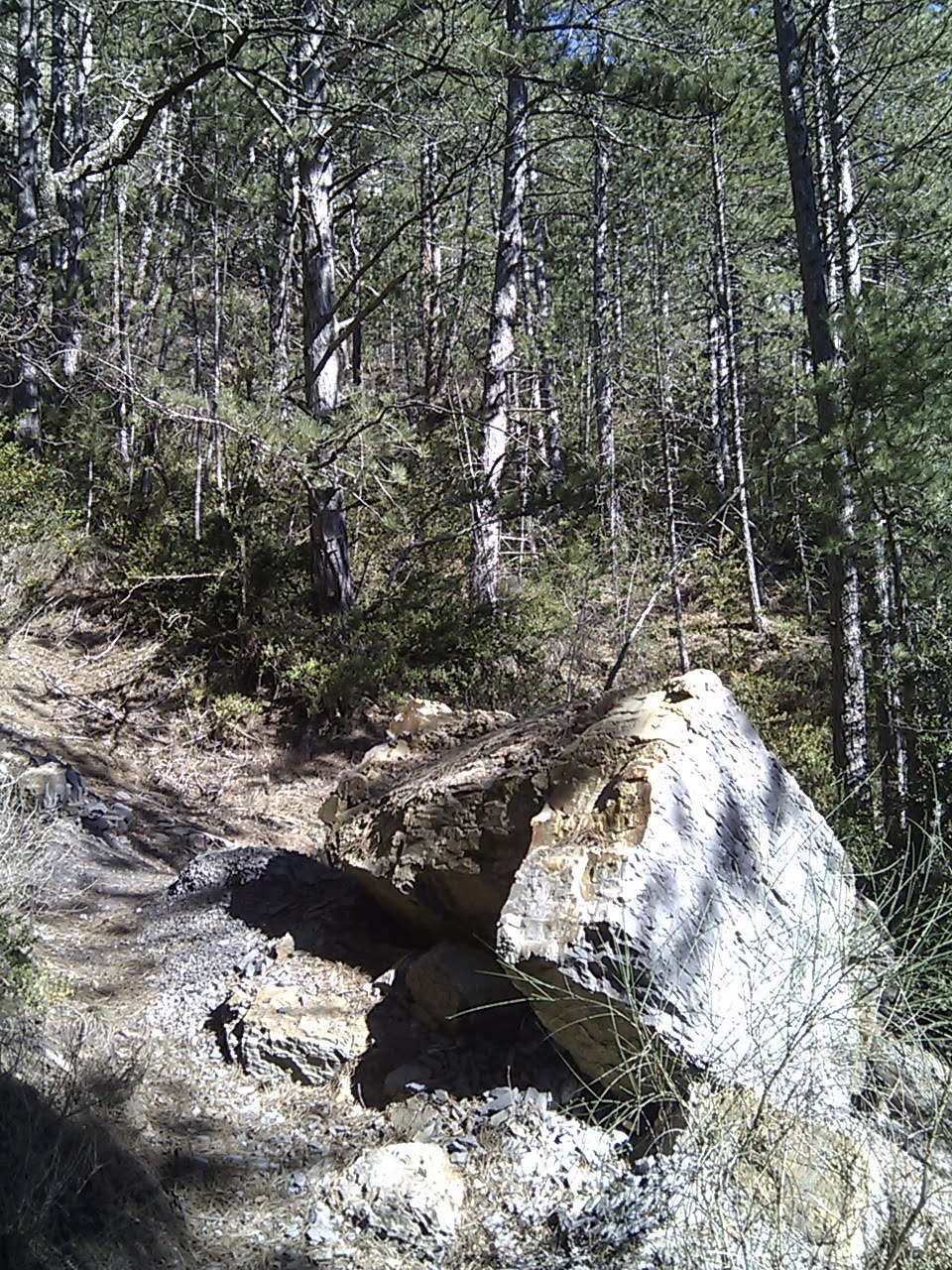
The photos are from the walk, and as well as general views show some of the typical signage you'll find on French paths.
 |
| The view to Croix de Justin from Die |
 |
| Die Cathedral from the start of the climb |
 |
| You need to keep your eyes peeled sometimes for the path markers ... on rocks, or stumps... |
|
 |
| ... or on young green trees... |
 |
| .... or on older ones: here's one telling me the path goes left... |
 |
| ...and here's one telling me that the path doesn't go here. |
 |
| The climb to Croix de Justin is definitely worth it - about two hours up from Die, about an hour back. |
 |
| The magnificent panorama from Croix de Justin |


