Wednesday 29 October 2014

Le Claps and Lesches-en-Diois

My last day here for several weeks, and with fairly tired legs (I'll have done about 450 miles on the bike in eight days) and other stuff to do, I plumped for a simple ride to Lesches-en-Diois (scene of the perennially brilliant fireworks of 15 August), ascending the way I've only been up in a car before and descending into Beaurières. A simple 50-mile lasso-type route, and one with a one or two more interesting geological features.

The first is just after Luc-en-Diois, at the unmissable feature of Le Saut de la Drôme (the Jump of the Drôme) and Le Claps. Both are the result of a major event in the 15th century, when a great chunk of one side of a mountain just slid down off the mountain, creating a 5-hectare (12.5 acre) lake, as well as the aftermath of the waterfall and truly enormous boulders scattered you can see today. The lake (now gone) had many battles fought over it, in an area where water rarely collects naturally, thanks to the property of limestone.

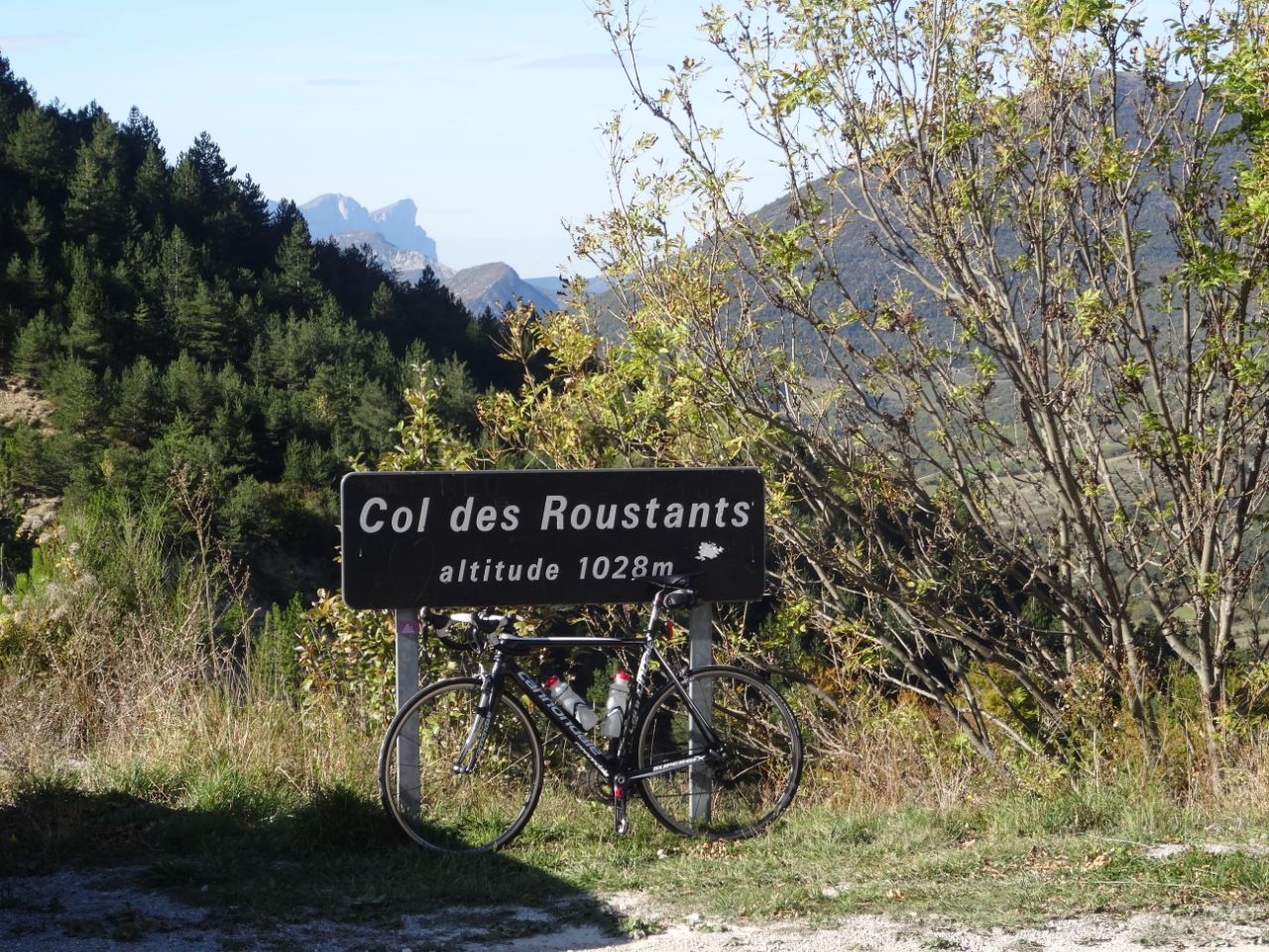
The other bits of exposed geology were on the climb up to and descent from Lesches (at 1023m), and lastly on my little detour on the way home towards Châtillon, where I compared the fragile strata near Châtillon with the rather more weather-rounded features of the Glandasse. I'm sure there have been and will be further massive events in its geological history. But I'm under the impression that its implacable face changes at a slower rate than some of the other formations round here.

Tour de France 2015

So, the great news - the Tour de France will be coming through Die on 20 July 2015. Having thought I wouldn't ever get to see it in my French playground because it's always in term-time, this was just what I was hoping for. Except I'll be working on 20 July 2015, doing a rather public musical job, and one it would definitely be noticed if I weren't there. Sometimes things just don't work out. Oh well.

Anyway, the route goes from Bourg-de-Péage to Gap, but with the detailed route to be published much nearer the time, it leaves plenty of time for speculation. My own hunch is that it will go up the Col des Limouches, then Col de la Battaille and Col de la Chau to go down to Vassieux one day short of the 71st anniversary of the Nazis' assault on the village: the riders would go right past the 'nécropole' there. Then down Col de Rousset (I shudder to think what speeds they will reach), and along the D93 to Col de Cabre, which would be the last climb of the day (and perhaps provide the best vantage point, near the loops at the top). It should then be a fast flat run into Gap, though one that would be long enough for a break to be caught by an organised peloton.

Anyway, that is speculation. What's for certain is that whatever route they take will have roads that are in good condition - not that most of them aren't fairly good already, but it'll be interesting to see what improvements take place. I'm already seeing bits of what I imagine to be in preparation for the race; I think we'll be seeing quite a bit more of the type I saw today on the D93 between Beaurières and Luc-en-Diois, pictured below.

Sunday 26 October 2014

Col des Roustants 1023m

I'll admit that the Col des Roustants hadn't been on my radar at all, and I hadn't planned to ride over it, but thanks to my dodgy map reading, and a signposted invitation to go to La Motte-Chalancon from St-Nazaire-le-Désert via the col, how could I resist?

The D135 from St Nazaire was a real discovery for me: going over four cols (des Guillens, de Portail, de Vache and finally des Roustants), the road is almost constantly under the gaze of Les Trois Becs near Saillans. And though the final col (the only one over 1000m) isn't anything spectacular in itself, the ride down to La Motte-Chalancon brings the thrill of a short gorge and balcony road followed by the vaguely ridiculous village of Chalancon and its views down to La Motte-Chalancon and the valleys and mountains around it.

You only really appreciate Chalancon's position when you descend towards La Motte and stop to look back,  the village perched on the hillside under a large cliff-face.

I think this col would be equally satisfying ascending from La Motte, especially if completing the circuit by going down the Roanne valley (see 'A rocky ride...'). Really, a thrill round virtually every corner.

A rocky ride...

Apologies for the title, but when I worked out where I was going to ride today, I knew what one of the themes would be: geology. My brother will tell you I'm no geologist (he is), but you can't fail to notice it round here. There are extraordinary formations virtually wherever you look: not only are there very dramatic examples of different rocks and rock formations and upheavals, but so much of it is exposed too (sometimes because large chunks of mountains have simply fallen off).

Actually, today's ride was so entertaining that it will be split into two posts. The ride from Die went up the Roanne valley to St-Nazaire-le-Désert, turned left along the D135 over the Col des Roustants to La Motte-Chalancon, and then back to the D93 at Luc-en-Diois to get back to Die. The D135 stretch was new to me, and not quite what I had planned. In the end it quite took my breath away, and as the col is at 1028m, it earns itself a separate post for the stretch along the D135.

So, the two stretches either side. The Roanne valley is certainly worth a visit. I think it's safe to assume from the size of the boulders in the river, and the unstable-looking cliffs overhead that they must have come from, that this dramatic geological scenery changes more quickly than we tend to be used to in Britain (at least when humans aren't doing the changing). If you do visit, you'll also notice the very extensive anti-rockfall works after St-Benoit-en-Diois: one assumes that the road maintenance engineering managers round here understand their geology in great detail, as it varies enormously even in short distances.

At the other end of the ride is the mind-boggling portion of regular vertical strata of alternating layers of mudstone and limestone near La Charce. I see they've put some information boards there now, and are encouraging people to stop and investigate. It's well worth the effort.

Perhaps in some of these photos you might get one or two flavours of Provence: the ride passes through into Drôme Provençale, and apart from the cypresses, particularly in a normal year the area does often look distinctly more arid than the Diois area.

I'll link a route map in due course.

Saturday 25 October 2014

La-Chapelle-en-Vercors

At this time of the year, if you get a day with a "ciel serein" (as accurately forecast today), you make the most of it. For me one of the joys of coming down at this time of year is feeling that the real cycling season has longer to go, and though it might have turned cooler, a cloudless day with moderate winds gives such a boost. And there was only one place to go: Vercors. I hardly got up there at all in the summer, thanks to its habitual cap of cloud - not a whisp today.

Not a long route today: as I had stuff to do in the morning, I restricted myself to La Chapelle and back. It's an old favourite (not least as it was my first Vercors ride in June 2012), but also it has a bit of nearly everything in just over 50 miles: the ever-fun ascent and descent of Col de Rousset; beautiful back roads through some of the most idyllic countryside you're ever likely to see; and a journey through villages which resonate with history, particularly the Second World War, and the terrible retribution the Nazis meted out to the Résistance in July and August 1944.

So, today's ride - actually,  what was new to me was doing the circuit on the Vercors anti-clockwise, and I must say I think I prefer it that way. So after Rousset, St. Agnan, La Chapelle (a good place for a coffee, and it has a little shop as well as bakeries) and then back to Vassieux. St.Agnan, La Chapelle and Vassieux all suffered terribly in 1944, and very little remains of their pre-war structure (apart from the historic church at La Chapelle). In amongst the photos of beauty from today's ride, there are one or two reminders of the history I rode through.

Oh, and you'll notice the 1100m Col de Proncel in there (it's between La Chapelle and Vassieux) - going from Vassieux it doesn't really feel like a col at all, but coming from La Chapelle it does feel a bit more col-ish, and since it's over 1000m I suppose it qualifies. But it's not going to get its own page. If it weren't sitting on top of the Vercors it would just be a lump of very modest dimensions. Though if you've ridden all the way from St-Eulalie-en-Royans, it's definitely a col, I suppose: you've gained about 850 metres in height. When I've ridden it that way, I might give its own page.