Friday, 21 February 2014

Walkers: be prepared to turn back!

As mentioned before there is a wonderful selection of paths round here, from 'routes forestières', through signposted 'grandes routes', to 'autres sentiers' (other footpaths). It is a walkers' paradise, with a richness of scenery which must match just about anywhere in the world. Buy some local guide books, the local maps (IGN 1:25000 are good, though not as clear as Ordnance Survey), and off you go.

BUT ... a word of warning. The downside of the dramatic scenery is that you need to use your discretion. In short, be prepared to turn back if your path is dangerous because of the season, weather, or state of repair. Last winter I turned back twice when routes that would be perfectly fine in Summer were turned into potential death traps for a casual walker by ice and snow: some of the more mountainous paths have some quite dramatic drops, and you wouldn't want to slide over them.

And today's walk, done in perfect weather, after a promising start, soon turned tricky: one section, where the earth path had become extremely narrow because of a landslip from one edge was fairly simply and safely bypassed with a bit of a scramble through some trees. However the next section, along a narrowish ledge along a crumbly cliff face with a few large sheer drops to the right  was a no-brainer: time to retrace steps and keep myself safe for another walk another day.

It's worth remembering that the dramatic geology round here is the result of constant change: not just over long time-scales of millions of years, but all the time, now. Many roads are prone to rockfalls (the Col de Grimone is currently shut because of a major one), and many roads and paths, out of necessity, have been built on and surrounded by structurally weak geology.  It's a geology which is both awe-inspiring and a bit terrifying. And it's certainly worth seeing.

Most of the photos are from today's aborted walk. The last couple are from Vercors yesterday, and suggest why walking maps may need to be taken with a pinch of salt there in Winter.

Judging from the state of the rocks above the path, this isn't a place to hang around for too long.
To the right there are some sheer drops of a hundred feet or so. Hmm.
When the French say a path is dangerous, it is.
Time for a scramble over the banks to the right.
The 'interesting' path to Pas de Sagatte. Treat with extreme caution.

Monday, 17 February 2014

An escape to the sun...

England has been throwing quite a lot of weather at us lately. The best that can be said is that "at least it hasn't been cold". But it's been everything else, and even the British, who are used to 'weather' have got fed up with it. And though I haven't had the miseries that some poor people have suffered, I was ready to escape to the south of France for a week.

Well, just getting to London to catch the Eurostar was quite an adventure, and instead of the prebooked train to London, we ended up driving to St Alban's, where we parked at a kind friend's house, and caught the train to St. Pancras International to find our Eurostar. Anyway, from there it all went like clockwork, and we got home by 9.30pm. Made a nice change from a 19-hour drive.

(I had the amusing diversion of being asked to unpack my rucksack after the X-ray check at St. Pancras security. "Why me?" I thought, as I unpacked my crampons, microspikes, tool-equipped saddle bag, spare mobile phone, two chargers, Google tablet, compass, whistle, electric shaver, and assorted cycling kit and a few clothes. Hmm, on reflection, I did have rather a lot of metal and electrical items. A fair cop.)

And so to unwinding. Day one was, er, wet. Nonetheless, my brother and I had two pleasant short walks, first down into Die to buy provisions, and then later up the stream from Les Liotards towards the Glandasse.

Day two started in the murk, but with a good forecast. And as we walked down into Die, what I think was a cloud inversion lifted, and we were treated to a typically Alpine gloriously clear day. I took the opportunity to walk up to the 988m Croix St. Justin, which is a well-known viewpoint south of Die, about two hours' walk up, and one hour down. Like most paths round here it's pretty well waymarked, but it's always worth taking a decent map to check your progress and any odd corners, and to see what the surrounding terrain is like.

The photos are from the walk, and as well as general views show some of the typical signage you'll find on French paths.

The view to Croix de Justin from Die
Die Cathedral from the start of the climb
You need to keep your eyes peeled sometimes for the path markers ... on rocks, or stumps...
... or on young green trees...
.... or on older ones: here's one telling me the path goes left...
...and here's one telling me that the path doesn't go here.
The climb to Croix de Justin is definitely worth it - about two hours up from Die, about an hour back.

The magnificent panorama from Croix de Justin
 

Friday, 10 January 2014

New Year in Diois

Well, it's one year since I shook hands on this (still) dream house, and of course for this visit, it's my first New Year actually staying in the house. And whilst England has been battered by storms, we've had a week including plenty of sun. The relief for me has been that the house has been amply warm with just my trusty Jotul 602 woodburner and some oil-filled electric radiators for warmth, despite some chilly nights.

So, more importantly, to the weather and cycling. The data on average temperatures for the region suggest that I should expect conditions not wildly different from what we get in England. For whilst I am just 2km (as the crow flies) from the ski resort of Col de Rousset, Die is about 1000m (3300ft) lower, and historically has little snow, and gets average minimum/maximum temperatures of about 0C/8C at this time of year.

Road-wise, only major roads are salted, so with night-time temperatures at 500m being below freezing, any thoughts of conquering cols are out - even cars need to be cautious, and when your life depends on about 3 sq cm of contact between the road and slick rubber tyres, discretion is certainly called for. On the plus side there is hardly any traffic around - even if the French don't really do much for New Year, other than close everything early on New Year's Eve and New Year's Day (don't expect to be able to buy any food or go to a café or restaurant after midday on either day), they really don't do much of anything else either. Things only really start moving again from 2 January.

As regards the weather, a little research shows a really distinct difference between Valence and Montélimar, both on the Rhône, Valence about 20 miles further north than Die, and Montélimar 30 miles south. The difference in the average amount and number of days of rain is notable:

Valence:

Jan Feb Mar Apr May Jun Jul Aug Sep Oct Nov Dec
mm 57 58 75 75 86 56 36 50 66 119 54 71
Days 16 14 16 16 14 17 23 21 21 18 18 17

Montélimar:

Jan Feb Mar Apr May Jun Jul Aug Sep Oct Nov Dec
mm 60 60 80 80 80 50 40 50 70 140 60 80
Days 8 7 7 9 7 6 3 4 6 9 9 9

My guess would be that Die is closer to Montélimar weather than Valence. For both, October is by far the wettest month in terms of rainfall, but Valence spreads all its rain over roughly twice as many days. But when it rains in Die, it really rains. If you can understand French, there's a good article here that details the decreasing rainfall from north to south round the Vercors plateau.

This week I've been accompanied by George Humby of Exeter University Cycling Club for the cycling and Clare Greenall for reading, and surreptitious tending of the Jotul. George likes climbing hills (well, he is 15kg lighter than me, so that's my excuse for letting him win any KOMs), but with freezing nights, and mostly unsalted roads, morning rides and anything on side roads need to be avoided. At least we have the superb D93 (the main road to Gap and then Italy) stretching in both directions for about 30 miles. And with the dry climate here, and the lack of salting, certain roads can be ridden. So we have done four rides in the week: to Luc-en-Diois and Châtillon-en-Diois; to Crest, with a loop at the end; in the opposite direction to the Col de Cabre; and the old favourite up the Quint valley and back over the Col de Marignac.
 
I'll have to admit to stopping about 5km short of the Col de Cabre. We'd already ridden past quite a lot of ice, mostly by the side of the road. But at that altitude (950m, about 200m below the Col) I decided that I'd find it increasingly hard to turn round getting so near the summit, so George carried on to satisfy his col-lust, and I turned round and gingerly descended. Both of us were fine, but I'm very much looking forward to revisiting the col in warmer weather: we both agreed that the descent will be fantastic. Here's the route I'll be doing to Col de Cabre. In any case the road to Valdrôme was closed this time, and any side roads, especially those in the shade were likely to be skating rinks rather than roads.


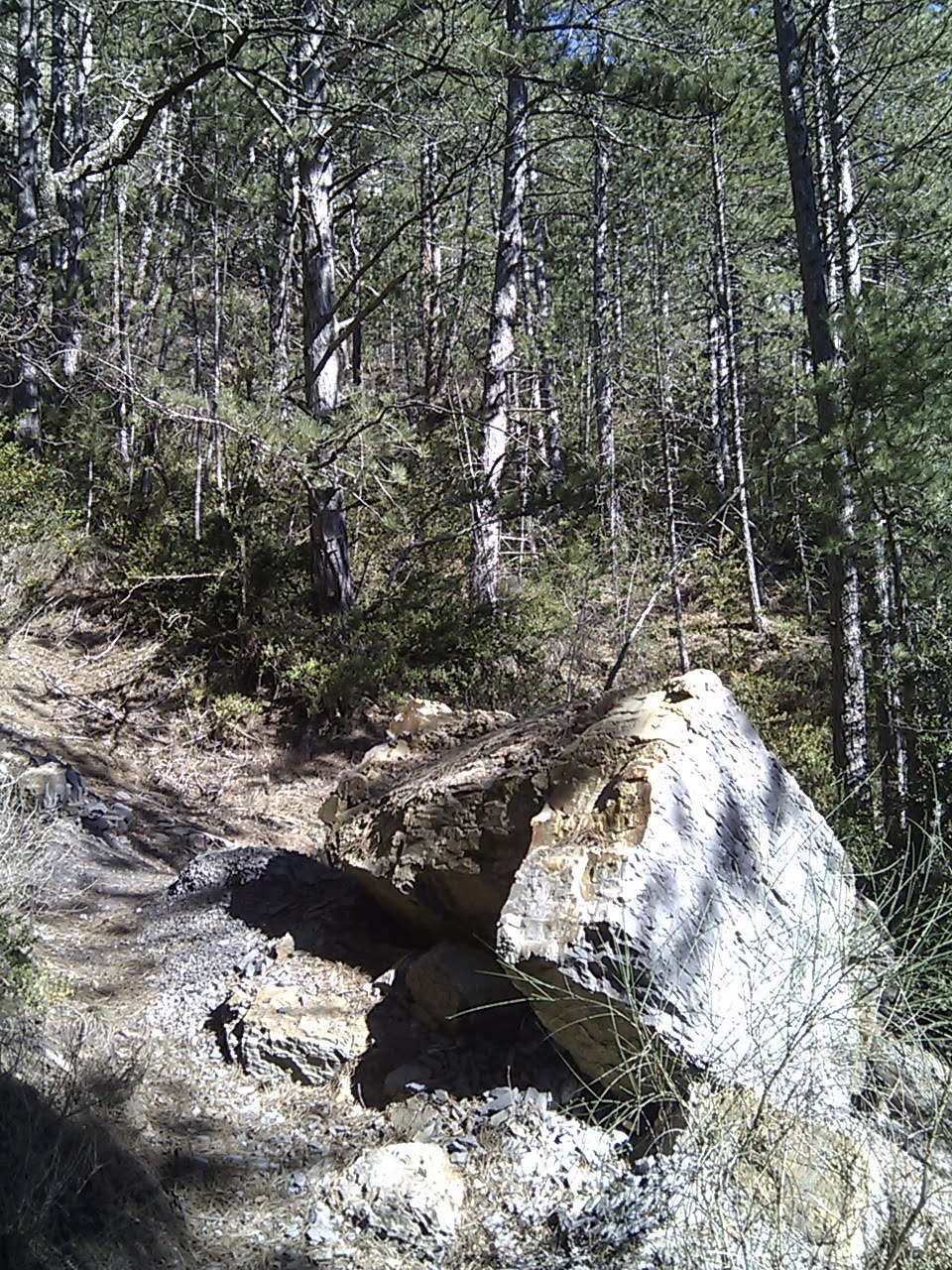
Other highlights of the week have been walking round Font d'Urle in the snow; visiting the harrowing museum at Vassieux-en-Vercors, which charts the terrible, futile slaughter of the Vercors resistance, young men, and the razing of entire Vercors villages in July 1944; and, of course, seeing again the beauty of the area, wearing its winter clothes, and in winter weather, both gentle and stormy. Nothing is dull round here.

Les Liotards on the first morning
Clare being very British
Looking down on the Quint Valley from Font d'Urle
Font d'Urle
Beaurières, at the foot of the climb to the Col de Cabre
From the Route de Romeyer, the road home.

And three photos from George of the Col de Cabre. Excuse the bar tape, but George is a mathematician rather than an aesthete. At least he didn't give up 5km short of the col.


Thursday, 31 October 2013

More autumnal glories, and routes...

We certainly hit the jackpot with the weather for the week. On the last day Martin and I were sitting on the steps eating lunch, and it seemed rather warm: a thermometer in the sun clocked the temperature at 37C - not bad for late October, and certainly better than what was on offer in England.

Anyway, some routes cycled this time.

Firstly a rather hilly one cycled with Arved: two hardish cols (Col de la Chaudière and Col de Pennes), and though only 72 miles, Ridewithgps clocks 12,000ft of climbing. Even if that is an overestimate, it was a properly tiring ride, and the climb to the Col de Pennes via the longer southerly route was taxing, though really worth it for the amazing scenery it goes through. Incidentally, not one car passed us from the Col de Lescou to the Col de Pennes, 20 miles in all.
http://ridewithgps.com/routes/3611751

Secondly, a short route round the Vercors plateau. Three highlights: the climb and descent to/from the Col de Rousset (a perfect gradient in both directions, which took me 57 minutes up and 25 minutes down); the Grands Goulets, the most bonkers balcony road you're ever likely to find; and the lush meadows spread out between the mountains of the plateau.
http://ridewithgps.com/routes/3611827

Our one aborted ride was going to go over the Col de Grimone and back via the Col de Menée (similar, in reverse, to my ride to Mens in August), but the Col de Menée was closed, and given the windiness (gusts up to 60km/h) Arved & I returned via the unexpectedly amazing Cirque d'Archiane.

Photos below from the three rides.

Arved at the Col de la Chaudière
One of the Trois Becs, from the Col de la Chaudière
Les Grands Goulets

On the road back to St Agnan-en-Vercors
A salamander outside my house
Riding done, the Super Six is put to bed.

Wednesday, 23 October 2013

Autumnal excursions and colours

A week ago I had my normal glance at the Villard-de-Lans webcam to see what I assumed to be a software glitch, as all I could see was snow. But no, the date stamp was up-to-date, and there had indeed been a big snow dump overnight. However, generally very mild weather has been the norm this Autumn, and by the evening nearly all the snow had gone. And I gather that such great variation is to be expected, so I was prepared for anything for my week's October stay - though, of course, hoping for some warmth and some cycling-friendly weather.
Well, so far,so good: daytime temperatures up to 24C in the shade, though also with dramatic Alpine storms.
I don't know if this year's weather has made the autumnal colours especially spectacular, but certainly, for my first October visit, the scenery is perhaps even more breathtaking than in the Summer.
Below are photos from today's ride up to the Col de Grimone and back via the Cirque d'Archiane (a most dramatic valley indeed). The top photo is from yesterday's ride to Gigors, and shows Alpine newbie Martin Wright coming over his second Col, the Col de la Croix, with experienced Alpinist Arved Schwendel.
The walnuts were collected from a roadside ditch by Arved and me, on the way back through Châtillon-en-Diois, and the last four photos are from an evening stroll up behind my house towards the Glandasse, dodging some very heavy showers!

Saturday, 14 September 2013

A few local loops

One of the joys of the area around Die is the ability to make up so many different types of route, from day-long epics, to quick there-and-back training loops. I'll add some more epics in due course, but if you're in the area, and you'd like some ideas for shorter rides, here are a few of the ones I've done, mostly in the 90 minutes to 3 hour range.

I'll start with a virtually pan-flat 39-mile course west to Aouste along the D93 - this would make a great time trial course, as there are relatively few junctions, great road surface, and a roundabout each end: http://ridewithgps.com/routes/3350037

Next up - one of the first rides I did in the area, with a nice climb, some beautiful views and a long fun descent (watch for a few of the earlier corners on which you might need to back off top speed in case of traffic coming the other way): http://ridewithgps.com/routes/3350119

Heading out east, there are a few nice loops. Firstly, a nice short one (7 miles) to Pont-le-Quart: http://ridewithgps.com/routes/3350119. Secondly, 16 miles out to Recoubeau: http://ridewithgps.com/routes/3350144, and thirdly an extension of that to Luc-en-Diois, with some nice rolling downhill sections on the return: http://ridewithgps.com/routes/3350155

If you want to do some reasonably serious climbing, here are two routes. Firstly, 32 miles to the Col de Pennes: http://ridewithgps.com/routes/3350170 - the ascent is about 2500ft, and though the descent isn't suited to great speed, you'll get some stunning views of the Drôme valley and right over to the high Alps. Secondly, the classic Col de Rousset: http://ridewithgps.com/routes/3350187. If you haven't done a full-on alpine climb before, this is a good start - about an hour's climb (my best time so far is 57'30") with no difficult sections (nothing over 10%), and a really nice descent. If you can do this, you can do Alpe d'Huez. And the view at the top is breathtaking.

View from the descent from Col de Pennes


View from the Col de Rousset


Tuesday, 3 September 2013

Three classic routes

As time goes on I'll post as many of the routes that I've done as I can, both as an aide memoire for me, and as a resource for other cyclists using Die as a base. This time round there are three new routes, in each of which I wanted to try out some roads new to me, and to create some 'classic' rides. I was pleased with each, though the credit for that goes to the superb scenery and roads round here.

The first route is the one I did with James Morrison up the Gorges de la Bourne. A couple of notes - I think we missed a nice little bit of balcony at Les Goulets, as an alternative, just before the long tunnel after La Chapelle-en-Vercors; and you can take an alternative route down from Villard, by cutting over the hills instead of going back down part of the gorge. Try to do this when the weather up on the Vercors is going to be good: it can be really unpleasant up there while Die is baking in the sun all day.
 91 miles, Die - Gorges de la Bourne

Next was this solo effort, in which I wanted to get views of Mont Aiguille and the high Alps. Only four cols, but a cracking ride, with the added bonus of the Gorges des Gâts.
78 miles, Die - Col de Menée - Mens - Col de Grimone

Lastly, a bit of a toughie, starting with Col de la Chaudière, but a great mix of scenery. 

Don't take the elevation data too literally: you'll notice that Ridewithgps can't handle tunnels or snaky gorges at all well, so climbing totals get severely exaggerated where there is much of either. That said, these are all routes where you'll want some decent climbing legs and food to power you over the cols. There were no problems finding water to top up bottles en route.