Col de Menée, taking its name from the village at the real start of the climb, is a proper big up and down col, effectively starting at Menée on the south western side, and the E712 near Clelles on the north eastern side. On taking photos on today's ride I noticed for the first time that the two altitude signs at either end of the tunnel disagree: one gives the figure as 1402m, and the other as 1457m. I've no idea which is more accurate!
Anyway, it's certainly a great ride from either side: the gradients are all moderate, and there are spectacular sights on both sides, including the famous Mont Aiguille (pronounced eh-gwee, roughly) on the north eastern side. There's nothing at the top other than wonderful views and a longish tunnel (you'll need lights), so if you're looking for refreshments, there are cafés at Les Nonières and Chichillianne.
For this post I started at the south western side (as usual having started at 400m elevation at Die), and was accompanied by Keith, Ant, and new French cycling friend Jérôme, who met us at the col itself. The ascent from that side is long and mostly very gentle, and apart from a few hairpins, works its way round the contours of the valleys - there are a few places where you can glimpse back on the road you've been on, or forward to where you are going.
The descent to Chichillianne is quite twisty for some distance and needs caution at the top, straightening up as Mont Aiguille comes into view. At the time of writing the road surface for the top part is variable, but to your right there are a few glimpses of lush pastures of valleys below and craggy high Alps beyond. (Ascending from Chichillianne gets some of the steeper bits over with early, leaving a nice run-up to the col).
Two notes from today: firstly, as well as the variable road surface on the north-eastern side, there was extensive roadside logging - there were signs, and someone riding up shouted a helpful warning, but it reinforced the need to always think ahead about what might be around the next corner - small rockfalls leaving smaller or larger rocks on the road are common, for instance. Secondly, the Météo France forecast was pretty hopelessly wrong for the second half of the day (heavy rain replacing the forecast warm sunny intervals), so do go prepared, even in the height of summer, especially if you're likely to be at high altitude or making long descents, both of which can be chilly affairs, especially if caught by the weather.
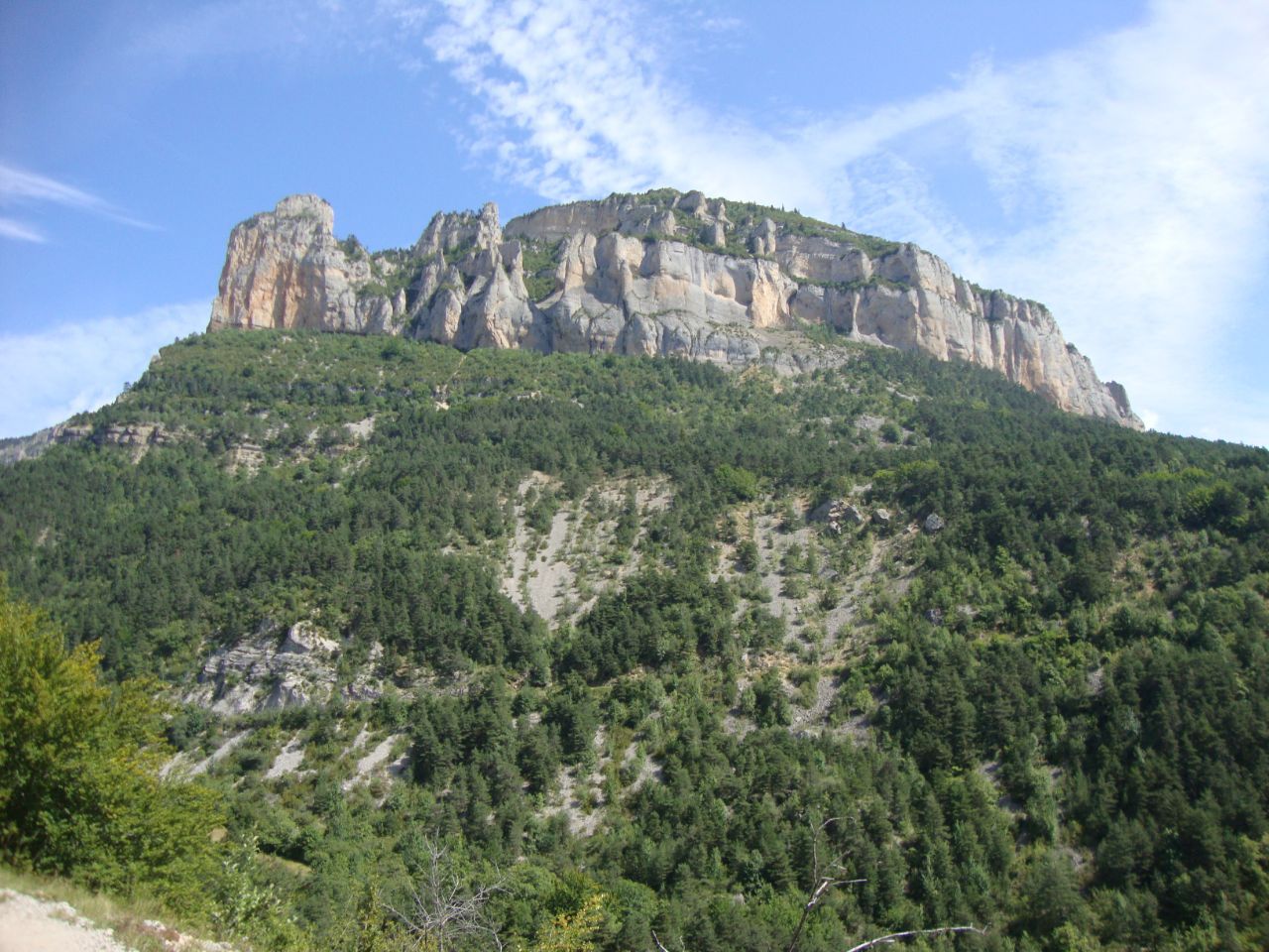
Photos below chart the ascent as far as the tunnel; for photos on the Chichillianne side, please see the post from the somewhat sunnier and warmer ride last August!


No comments:
Post a Comment